SELECT LSGI

ABOUT GISLG

ഒരു തദ്ദേശസ്വയംഭരണ സ്ഥാപനത്തിന്റെ അടിസ്ഥാന വിവരങ്ങള് മുഴുവന് ശേഖരിച്ച് വിവിധ തരത്തിലുള്ള ഭൂപടങ്ങളിലായി സന്നിവേശിപ്പിച്ചിട്ടുള്ള ഒരു വിവരശേഖരണ (Database) സോഫ്റ്റ് വെയറാണ് ജിസ്എല്ബി (gislg) . തദ്ദേശഭരണ സ്ഥാപനങ്ങളുടെ വികസനാവശ്യത്തിനു തകുന്ന ഓരോ സര്വ്വേ പ്ലോട്ടിലേയും വിവരങ്ങള് വിരല്തുമ്പില് ലഭ്യമാക്കുകയാണ് പദ്ധതിയുടെ ലക്ഷ്യം. കൃഷിഭൂമി, മനുഷ്യവാസ മേഖല, വ്യാപാരവ്യവസായം, ഭൂവിനിയോഗം, തൊഴില്, വിദ്യാഭ്യാസം, മൃഗസംരക്ഷണം, ഗതാഗതം, വൈദ്യുതി, ആരോഗ്യം തുടങ്ങിയ മേഖലകളുടെ സമഗ്രമായ സ്ഥാനീയ വിവരശേഖരണം ഗ്ലോബല് പൊസിഷനിംഗ് സിസ്റ്റം ഉപയോഗപ്പെടുത്തിയാണ് ഇത് സാധ്യമാക്കിയിരിക്കുന്നത്. പുതിയ സാങ്കേതിക വിദ്യകളുടെ ബോധപൂര്വ്വമായ സ്വീകരണത്തിലൂടെ വികസനത്തിന്റെ തോത് ഗണ്യമായി വര്ദ്ധിപ്പിക്കുന്നതി നുള്ള ചുവടുവയ്പ്പാണ് കൈക്കൊണ്ടിരിക്കുന്നത്. ഇത് ഒരു വെബ് അധിഷ്ഠിത സോഫ്റ്റ് വെയറാണ്. ആയത് കൊണ്ടുതന്നെ ഒരു സെര്വ്വറിന്റെ സഹായത്താല് ഓണ്ലൈനായിട്ടാണ് പ്രവര്ത്തിക്കുന്നത്.
GPK SERVICES
Geographic Information System for Local Government
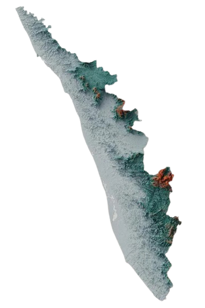
This is a GIS based web information software.This project has been carried out for more than 30 local bodies including Block Panchayats, Municipalities and Grama Panchayats in various districts of Kerala.
Road Connectivity Map
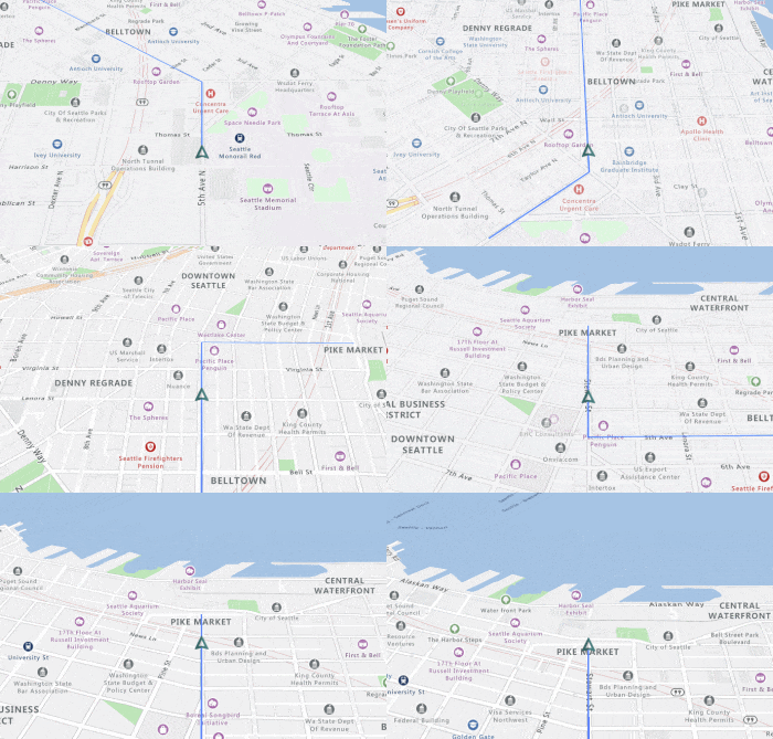
Road connectivity mapping is the process of referencing all the roads including national highways, major district roads, village roads, footlanes etc. into the cadastral map.This project could be completed in more than 10 panchayats

River Bank Mapping & Sand Auditing
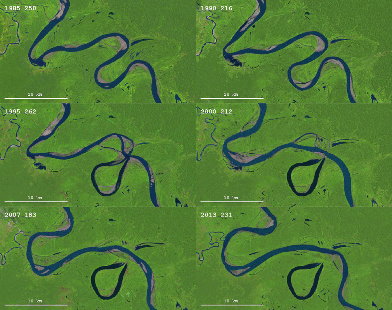
This project envisages in understanding the present status of the river, condition of both banks, biomass of the area, sand sediment in the basin, conveyance capacity of the river etc. and preparing reports and maps of the same.

Watershed Based Master Plan Preparation
As an accredited agency of the government of Kerala, GPK is providing technical, institutional and faculty support to Local Self Government Institutions (LSGI) in Kerala in a time bound participatory preparation of Watershed based Development Master Plan.
CONTACT US
GisLg

Geographic Information System for Local Government